Here I have a second idea for the posting of Massachusetts state routes. This idea is based on the shape of wayfarer signs that is no longer extant -- the signs are now rectangles where before they used to have cut corners like Philadelphia street signs or Phoenix street signs. Even after they switched to squares they kept the old cut-corner typeface into the 1970s.
ON EDIT: Here are two examples of the cut-corners wayfarer sign type.


ON EDIT: Here are two examples of the cut-corners wayfarer sign type.

Okay, here's my idea. Like the previous set, I sent these to R.V. Droz and they are also at his website.

This first one would be posted for the regular state routes.

This is a special one for the Cranberry Highway which runs along Routes 28, 6 and 6A from the Middleborough Rotary in Middleborough, Mass. to the Orleans Rotary in Orleans, Mass.

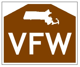
This one would be for state parkways (which used to be owned by the Metropolitan District Commission)

And this last would be for town-maintained routes, except when maintenance responsibility goes from state, to town, and back again. Only where the whole stretch, the first part, the last part, or a new extension is maintained by the town. Certainly not like State Road / County Road / State Road / County Road 865 in Fort Myers, Florida!
And now the same ones (well, the first three), but for mounting on the overhead directionals* and other big green signs:

Regular state routes.

Cranberry Highway.
State parkways.
* Overhead directionals: big green signs mounted on overhead sign bridges, or gantries.
No comments:
Post a Comment